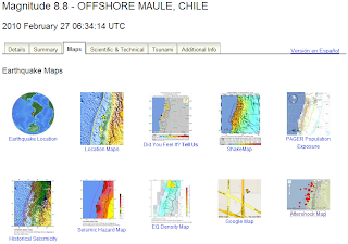
From USGS, the have a detailed site (image below):
For NOAA, here are a few quick map highlights of the resulting tsunami.
Energy Forecast in wave height:

Timetracker of wave position:

" The Richter magnitude scale, also known as the local magnitude (ML) scale, assigns a single number to quantify the amount of seismic energy released by an earthquake. .... So, for example, an earthquake that measures 5.0 on the Richter scale has a shaking amplitude 10 times larger than one that measures 4.0. The effective limit of measurement for local magnitude ML is about 6.8...."
No comments:
Post a Comment